3D planet view · Cassini observational composite
Explore Jupiter in COSMOS
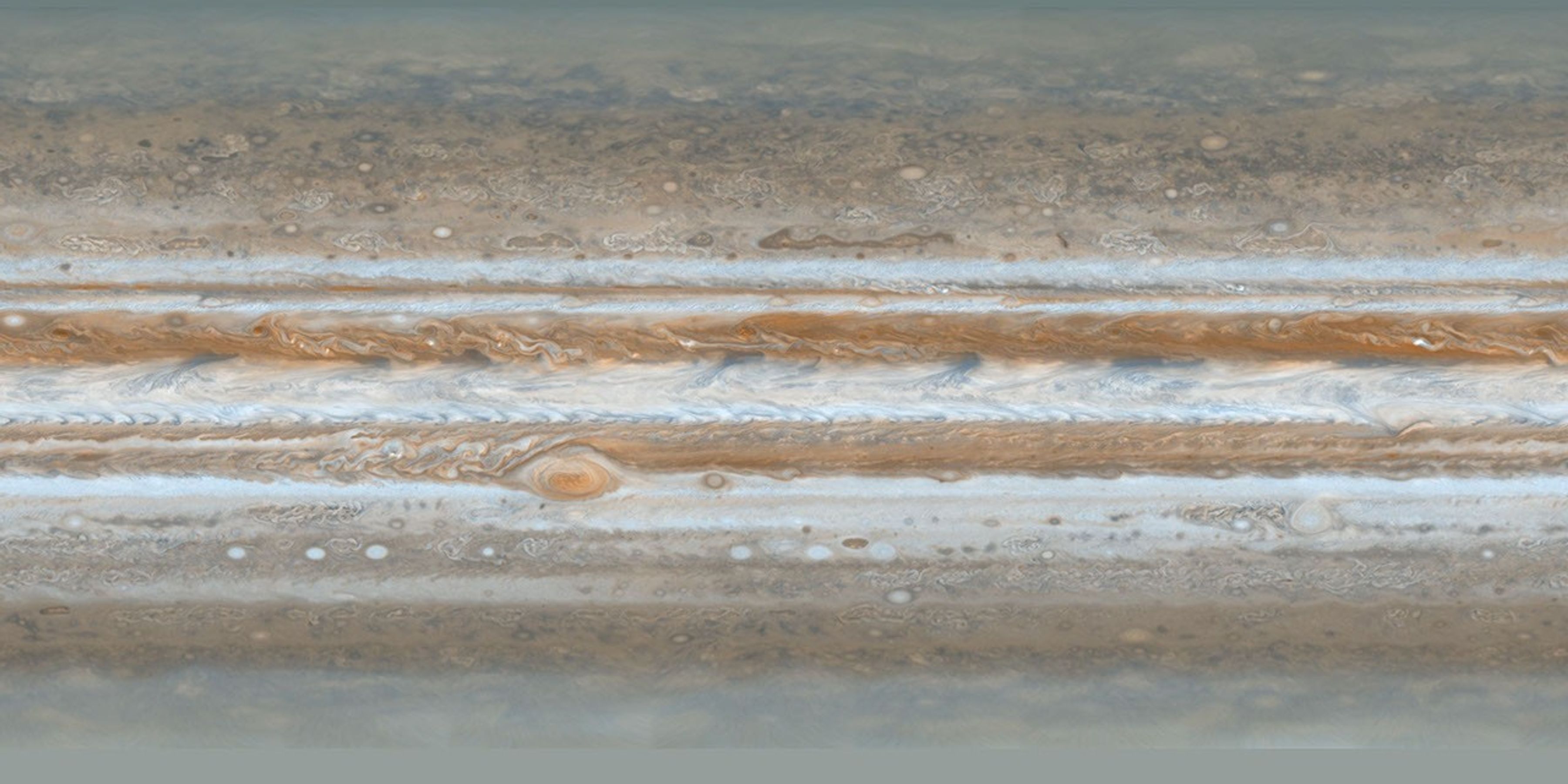
The largest planet, shown with a historical Cassini cloud-top map. The map is an observational composite from 2000 and does not represent a solid surface or current clouds. The link below opens the explorer, flying the camera to Jupiter with its position set by the archived planetary state.
Measured facts
- Mean radius
- 69,911 kmPublished mean radius stored as renderer geometry.
- Mean diameter
- 139,822 km
- Reference shape
- Oblate reference ellipsoid · flattening 0.0649Equatorial 71,492 km, polar 66,854 km. No terrain displacement or cloud-height model.
- Distance from Earth at the recorded epoch
- 929,608,790 km · 51.68 minutes light time
- Closest camera approach
- 2.5 equatorial radii
What opens when you follow this link
COSMOS opens in the same continuous 3D scene and moves the camera to Jupiter. Nothing reloads, and the breadcrumb trail stays clickable for the way back outward through the Solar System, the measured stellar catalogue and the Galactic view.
If your browser cannot run WebGL2, this page is still the useful part: it carries the identity, the measured values and the provenance, in text.
Where the full record lives
This page is the share link. The complete data record for Jupiter — delivered imagery resolution, observation epoch, source licence, processing chain and every disclosed limitation — is on its reference page, which is linked below.
Datasets behind this page
- JPL Horizons planetary state archive (2020–2040)NASA/JPL Horizons · derived-scientific-model · One discrete geometric state vector per object at JD 2461281.5 TDB
- Cassini ISS PIA07782 Jupiter cloud-top mapNASA/JPL Photojournal · Cassini ISS · observational-composite · Smallest visible atmospheric features approximately 120 km; not a uniform pixel-resolution claim
Content updated 2026-09-26. Every value on this page is computed from the shipped datasets; where a source publishes no value, the page says so instead of estimating one.